
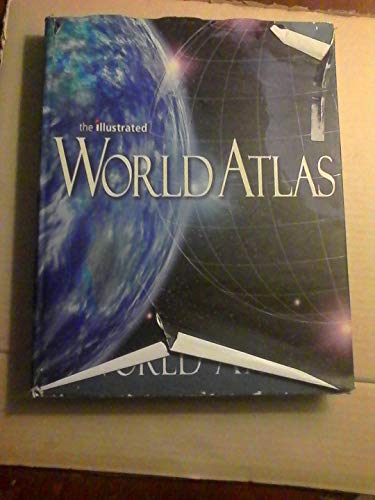
The Illustrated World Atlas
Weldon Owen Publishing, Scott ForbesThe Illustrated World Atlas
January 1, 2004352 pages
Community grade. The average of the grades people here gave it. No critics, no outside scores.
No grades yet
or to grade, review, and add to your backlog.
Description
This state-of-the-art atlas was developed under the guidance of a team of international cartographic and specialist thematic map consultants. The atlas contains more than 400 maps, including 66 regional maps, 4 detailed ocean maps, and 10 thematic world maps. Included for each continent are satellite views and physical, political, and human impact maps.
Community reviews
No reviews yet. Be the first to review this book.